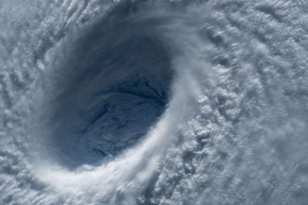
Global warming and rapid climate change have long affected the characteristics of typhoons in the Northwest Pacific, which has induced increasing devastating disasters along the coastal regions of the Korean peninsula. Synthetic Aperture Radar (SAR), as one of the microwave sensors, makes it possible to produce high-resolution sea surface wind field around the typhoon under cloudy atmospheric conditions, which has been impossible to obtain the winds from satellite optical and infrared sensors. The Geophysical Model Functions (GMFs) for sea surface wind retrieval from SAR data requires the input of wind direction, which should be based on the accurate estimation of the center of the typhoon. This study estimated the typhoon centers using Sentinel-1A images to improve the problem of typhoon center detection method and to reflect it in retrieving the sea surface wind. The results were validated by comparing with the typhoon best track data provided by the Korea Meteorological Administration (KMA) and Japan Meteorological Agency (JMA), and also by using infrared images of Himawari-8 satellite. The initial center position of the typhoon was determined by using VH polarization, thereby reducing the possibility of error. The detected center showed a difference of 23.76 km on average with the best track data of the four typhoons provided by the KMA and JMA. Compared to the typhoon center estimated by Himawari-8 satellite, the results showed an average spatial variation of 11.80 km except one typhoon located near land with a large difference of 58.73 km. This result suggests that high-resolution SAR images can be used to estimate the center and retrieve sea surface wind around typhoons.

